What Happens If the Polar Vortex Collapses? Cold, Snow and Odds
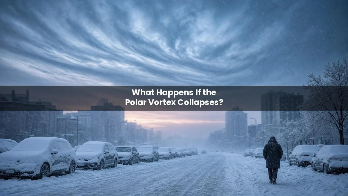
Short answer: nothing dramatic happens overnight. When the polar vortex “collapses,” the strong winds circling high above the Arctic weaken or reverse. Over the next two to six weeks, that can bend the jet stream and let Arctic air spill south into Europe or North America. It raises the odds of cold, dry spells. It does not guarantee snow, and it does not freeze the world.
The question is trending in the UK and US right now. In early November 2026, forecasters reported the earliest major disruption of the polar vortex in modern records. We label each point as an established fact, a forecast or projection, or a myth.
Key facts at a glance
- What it is: a band of strong westerly winds about 10 to 30 miles (16 to 48 km) above the Arctic, in the stratosphere. Established.
- What “collapse” means: a sudden stratospheric warming (SSW), when the air high over the pole heats fast and the vortex stretches, shifts or splits. Established.
- How often: about once every two years, usually in January or February. Established (University of Reading).
- Why 2026 is news: the vortex stretched and briefly split in early November. The Met Office’s Jeff Knight told the BBC it “would appear to be the earliest on record” over 75 years of observations. The previous earliest major SSW came on 28 November. Established.
- Surface impact: if one happens at all, it usually arrives two to six weeks later. Forecast.
What the polar vortex actually does
Status: established science.
Each autumn the Arctic stratosphere grows very cold as sunlight fades. The temperature gap between the pole and lower latitudes drives a ring of fast winds around the North Pole. That ring helps keep the coldest air bottled up over the Arctic.
Large atmospheric waves, called Rossby waves, rise from the weather layer below and push on the vortex. Strong enough waves can knock it off the pole, stretch it or split it into two smaller swirls. In a major SSW, the winds at 60°N flip from westerly to easterly.
What happens when it breaks down, week by week
Days 1 to 7: warming high above the pole
Status: established. Temperatures in the stratosphere over the Arctic can climb by tens of degrees in a few days. You notice nothing on the ground. This stage is happening in the sky above you right now, about 20 miles up.
Weeks 2 to 6: the change may work downward
Status: projection based on past events. In many SSWs, the disturbance sinks into the troposphere, where weather happens. The Met Office explains that this can weaken the Atlantic jet stream and favor “blocking” high pressure. Where that high sets up decides the outcome:
- High pressure over the UK: calm, dry weather with frost and fog.
- Blocking farther north: easterly winds, the setup behind the 2018 “Beast from the East” that followed an SSW.
- High pressure to the west: cold northerly winds.
Not every SSW reaches the surface. Some stay in the stratosphere and fade.
North America
Status: forecast. Fox Weather and DTN both note that El Niño and a strong Pacific jet favor a mild November and December across much of the US. Early model runs put the coldest air over Eastern Europe and Siberia, not the US. DTN calls an early US cold blast “not likely” but worth watching around late November.
Will it snow? The UK and US outlook
Status: forecast, subject to change.
The Met Office says a major SSW “does not automatically mean snow or severe cold.” It has also pushed back on “big freeze” headlines, saying the week ahead looks near average with rain, showers, fog and patchy frost.
Professor Andrew Charlton-Perez at the University of Reading thinks UK snow is unlikely this early. The oceans, land and air still hold summer heat. He sees a different risk: a long dry spell. Parts of the UK remain in drought after a hot, dry summer, and reservoirs need a wet winter to refill. For why water matters so much, see what would happen if water disappeared from Earth.
What a real cold outbreak would do
Status: established from past events.
- Energy demand jumps. Heating needs spike, and grids face their toughest tests. Texas lost power for millions of people in February 2021 during an Arctic outbreak linked to a disrupted vortex.
- Travel and supply chains slow. Snow and ice close roads, airports and rail lines.
- Health risks rise. Cold weather raises the risk of hypothermia, heart attacks and falls, especially for older people.
If a cold snap brings outages, our guide to what happens during a storm power cut covers what to do and how long they last. For a much longer, regional failure, see what happens if the power grid fails for a month.
Myths to ignore
- “The polar vortex is a storm that hits your city.” Myth. It sits far above the weather. Only its effects on the jet stream reach the ground.
- “A collapse means an ice age.” Myth. SSWs are normal winter events. Effects last weeks, not years. For a truly extreme freeze, compare what would happen if the Sun disappeared.
- “Snow is guaranteed by a certain date.” Myth. No forecaster can promise that weeks ahead.
Why is it happening so early?
Status: open question.
Scientists don’t know yet. The Met Office points to an exceptional El Niño and unusually strong “wave two” activity pushing on the vortex. El Niño tends to raise the odds of SSWs, but usually in late winter. Reading’s Charlton-Perez says it is too early to blame El Niño without more analysis. Scientific American quoted researchers calling the event “unprecedented.”
More planet-scale scenarios live in our what would happen if scenarios hub.
Cold and ice make outages harder. Pair this with what happens in a UK Black Sky event.
This winter also has a record-strength Pacific driver in play. See what happens if El Niño breaks the record this winter. Those winter swings also sit against a longer warming trend. See what happens if global warming passes 1.5 degrees.
Frequently asked questions
Is the polar vortex collapsing right now?
Yes, it is badly disturbed. In early November 2026 it stretched and briefly split, and forecasts show its winds reversing in mid-November. If that happens, it will count as a major sudden stratospheric warming.
When would we feel it?
Usually two to six weeks later, if at all. That points to late November or December for any surface effects.
Does it mean a white Christmas?
Nobody can say yet. An SSW tilts the odds toward cold, but the result depends on where high pressure forms.
Is climate change causing it?
The link between warming and vortex disruptions is still debated. Scientists have not tied this specific event to climate change.
Sources
- Met Office: Could changes high above the Arctic influence the UK’s weather?
- Met Office: “Big freeze”? Weather headline review
- BBC Weather: Could the earliest weakening of the polar vortex on record bring UK snow? (6 Nov 2026)
- University of Reading: Early polar vortex split may impact UK snow and drought
- Fox Weather: Polar vortex disrupted at the earliest point on record
- DTN: Will an extremely early polar vortex split cause winter cold in the US?
- Scientific American: The polar vortex is about to go haywire (4 Nov 2026)