What Happens If GPS Stops Working? Artemis, Storms and Timing
You
Satellites are not the only fragile link: see also what happens if an undersea internet cable gets cut, where traffic slows when a seabed route fails.
r phone, your car, your bank’s clocks and half the grid’s timing all lean on a faint radio whisper from satellites 20,200 km up. So what happens if GPS stops working?
In early November 2026, headlines about NASA’s Artemis II launch “punching holes” in the upper atmosphere made that question feel less abstract. The real answer is less Hollywood blackout and more messy, layered failure. Some systems keep going. Others degrade in minutes. A few critical ones depend on timing more than maps.
Throughout this article, we label each point as established fact, projection based on past outages, or hypothetical, so you always know how solid the ground is.
The short answer
- Phones and cars: maps get jumpy, turn-by-turn fails, and “where am I?” becomes hard outdoors. Indoor Wi-Fi and cell-tower positioning still help a bit.
- Aviation: planes do not fall out of the sky. Pilots switch to ground beacons, inertial systems and air-traffic control vectors, but airports lose capacity and delays pile up.
- Banks, phones and power: many systems use GPS as a free, precise clock. Timing loss can disrupt high-frequency trading stamps, cell-tower sync and parts of grid monitoring.
- Could the whole constellation die at once? Extremely unlikely. Partial outages, jamming, spoofing and ionosphere storms are the realistic threats.
What GPS actually is
Status: established science.
GPS is one Global Navigation Satellite System (GNSS). The US Space Force operates a constellation of satellites in medium Earth orbit. A receiver on the ground times signals from at least four satellites to solve for latitude, longitude, altitude and a precise time.
Those signals travel through the ionosphere, the electrically charged layer above about 50 km. When electron density there changes, the radio waves slow or speed up a little. That timing error shows up as a position error on the ground.
GPS also feeds “PNT”: positioning, navigation and timing. For critical infrastructure, the timing piece often matters more than the map pin.
Why Artemis II is in the news
Status: established (peer-reviewed pre-print coverage, Nov 2026 reporting).
Researchers at National Cheng Kung University studied high-precision ground GPS networks after the April 1, 2026 Artemis II launch. They found unusually large ionospheric disturbances from the Space Launch System core stage and later upper-stage burns. Space.com and Newsweek reported “holes” stretching thousands of kilometers across North America, with electron-density changes that could equal positioning errors of several meters.
Charles Lin, a co-author, told Space.com a couple of meters of error is enough for an autonomous car to drift a lane, and that drones would feel it too. The study did not report a continent-wide GPS blackout. It showed that powerful rockets can briefly disturb the layer GPS signals cross, and that future Moon and Mars traffic could make these space-weather-like effects more common.
Solar storms do a related job on a bigger scale. A geomagnetic storm dumps energy into the same layer and can degrade GPS for hours. We cover that chain in what a Carrington-level solar storm would do today and in what happens if Earth lost its magnetic field.
Minute by minute: what you would notice
Status: projection based on documented jamming, outages and ionosphere storms.
In your pocket and car
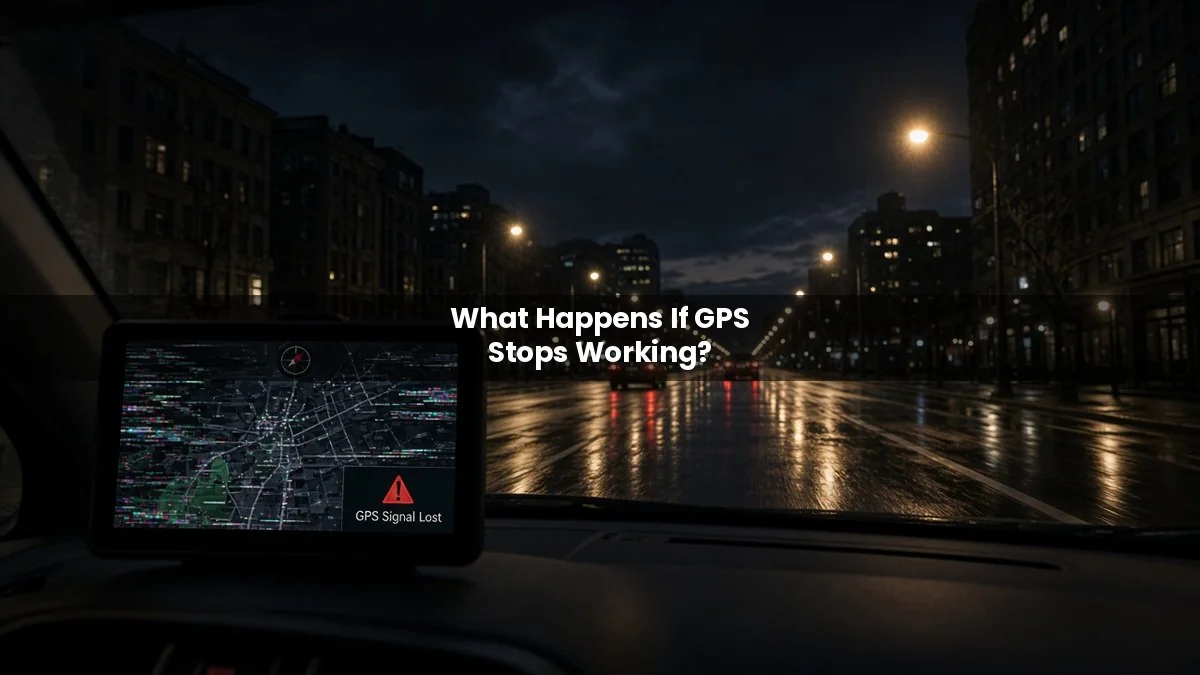
Navigation apps lose a lock or jump between wrong streets. Ride-share pickup pins drift. Fitness trackers mis-count outdoor routes. Delivery and logistics apps that depend on live vehicle tracks go quiet. Many phones can fall back on Wi-Fi and cell towers, so you are not suddenly “offline,” but outdoor accuracy collapses.
In the air
FAA and EASA guidance already treats GNSS interference as a live operational risk. Aircraft keep flying with VOR, DME, ILS, inertial navigation and ATC radar vectors. What shrinks is efficiency: RNAV and satellite-based approaches get limited, spacing increases, and some flights divert or delay. Planes do not need GPS to stay up. Busy airspace does need it to stay smooth.
Communications failures can also halt departures even when navigation still works. In November 2026, a telecommunications fault led the FAA to stop U.S. takeoffs; see what happens if the FAA issues a nationwide ground stop. Even when flights are moving again, ground collisions remain a separate risk. The night after that halt, a UPS jet and a Copa jet collided on a Miami taxiway; see what happens if two planes collide on a taxiway. Security hoaxes can divert flights too; see what happens if your flight gets a bomb threat.
On the ground for money and power
The US Department of Homeland Security flags GPS-derived timing as a dependency for financial networks and parts of the electric grid. Banks use precise timestamps for transactions. Cell networks use timing to keep towers in sync. Power operators use it for phasor measurement and monitoring. A timing outage does not always equal a blackout, but it can force systems onto backup clocks and raise the chance of cascading errors. For the bigger blackout picture, see what happens during a storm power cut.
What would not happen
Status: established / clarification.
- Ships and planes would not instantly vanish from maps. Radar, radios and human procedures still exist.
- Your phone would not brick. Cellular voice can work without GPS; only location features suffer.
- The sky would not “go dark.” GPS failure is invisible. You notice it in apps, delays and sync errors.
- One rocket launch will not erase GPS forever. Artemis-style ionosphere holes are temporary disturbances, not permanent damage to satellites.
Realistic ways GPS gets hurt
Status: established threats.
- Jamming: cheap radio noise can drown the weak satellite signal over a city or a war zone.
- Spoofing: fake signals can trick a receiver into thinking it is somewhere else.
- Space weather: geomagnetic storms disturb the ionosphere for hours to days.
- Rocket and orbital burns: as Artemis II showed, powerful exhaust and shock waves can carve short-lived electron-density holes.
- Constellation or ground-segment faults: rare, but software and control issues have caused multi-hour GNSS problems before.
What societies are already doing about it
Status: established policy.
DHS publishes resilient PNT guidance that urges critical operators not to treat GPS as the only clock. Aviation keeps conventional navaids. Many countries invest in complementary systems (Galileo, GLONASS, BeiDou) and local backups such as eLoran proposals and fiber-based timing. The lesson from CrowdStrike-style IT outages applies here too: shared dependencies fail together, so backups have to be real and tested.
Could GPS stop forever?
Status: hypothetical.
Destroying or permanently disabling the entire multi-nation GNSS ecosystem would take a coordinated attack on satellites, ground stations and backups across several countries. That sits in extreme geopolitical territory, not everyday risk. The practical question for most people is shorter: what happens during a city-scale jam, a day-long storm, or a launch-day ionosphere glitch? Answer: inconvenience first, then sector-specific stress in aviation, logistics and timing-sensitive finance.
For more Earth and space scenarios in one place, browse the what would happen if scenarios hub.
Frequently asked questions
Did Artemis II break GPS?
No widespread outage was reported. Researchers measured large, temporary ionospheric disturbances that can create meter-scale positioning errors if receivers do not correct for them.
Would self-driving cars crash if GPS failed?
Good systems fuse cameras, lidar, radar and maps, not GPS alone. Sudden meter-scale GPS error can still confuse lane-keeping that leans too hard on satellite position, which is why Lin flagged the risk.
How is this different from a solar storm?
A rocket punches a short-lived local hole. A major solar storm can disturb the ionosphere over huge regions for much longer and also stress satellites and power grids.
Can I prepare?
Keep paper maps for driving trips, know offline map downloads on your phone, and do not assume every payment or delivery app will have a perfect location lock during outages.